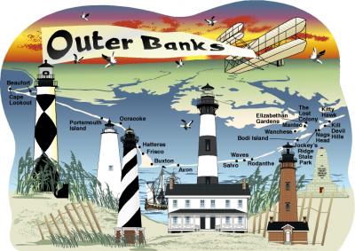
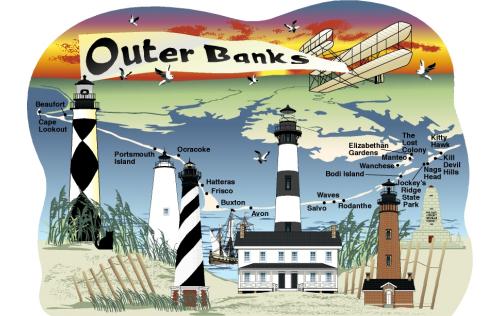
The Outer Banks is a 200-mile stretch of barrier islands off the coast of North Carolina. Five lighthouses help keep this area of coastline safe for ships. The Wright brothers conducted their first flight in 1903 near Kitty Hawk at Kill Devil Hills.
This handcrafted ¾" thick wooden map was created to show significant points of interest. The back includes a few more written details relating to the map. Set your keepsake map in a prominent location like a shelf, desk, wainscoting, or door/window trim. Add lighthouses and other Cat's Meow beach items to create a scene.

