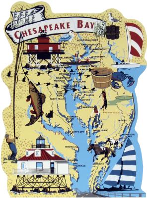
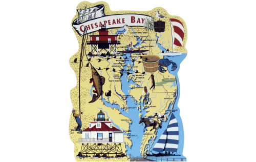
This ¾" thick wooden map was created to show significant points of interest within the Chesapeake Bay area. The back includes a few more written details relating to the map. Set your keepsake map in a prominent location like a shelf, desk, wainscoting, or door/window trim. Use this map to share stories or history with the children and family in your life.
This 200-mile-long bay is the largest of the nation's 130 estuaries. Fed by the Atlantic Ocean and a 64,000-square-mile watershed, the Bay supports thousands of types of plants, fish, crustacea, and other animal life. Contained within the Atlantic Migratory Bird Flyway, the Bay is the winter home to approximately one million waterfowl - roughly one third of all waterfowl that winter along the Atlantic Coast. The Bay is also a recreational resource for those who live in and visit the basin, and with its production of 500 million pounds of seafood annually, it's a seafood lover's delight!

